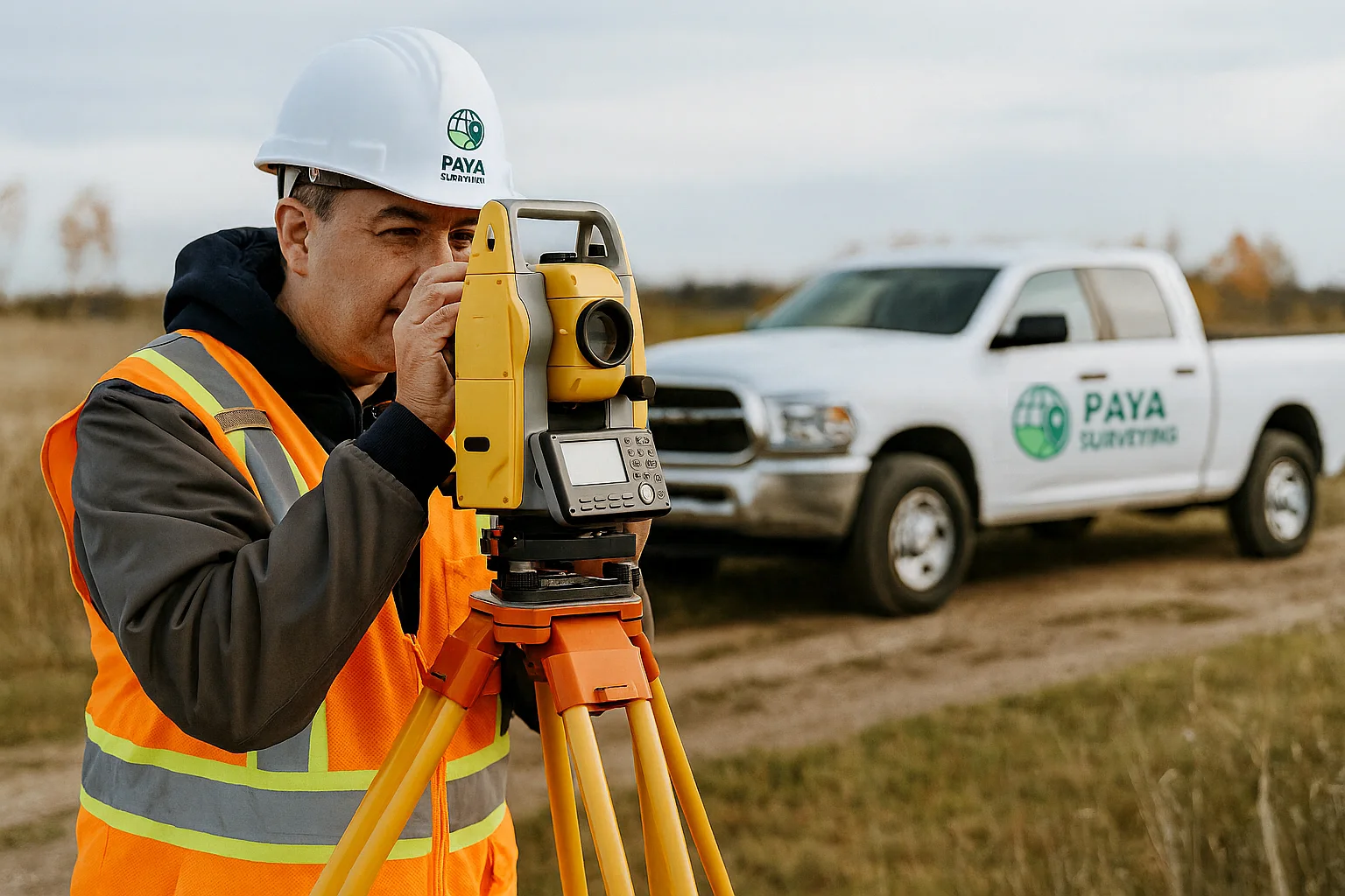
Serving the Greater Toronto Area (GTA) with professional survey support for construction layout, mapping, GPS/GNSS data collection, and 3D scanning. At Paya Surveying we deliver accurate results to help builders, engineers, and landowners make informed decisions.

At Paya Surveying, we provide professional survey support across the Greater Toronto Area (GTA), specializing in construction layout, topographic surveys, drone & LiDAR mapping, 3D scanning, monitoring, and site grading plans.
We are not licensed Ontario Land Surveyors (OLS) and do not provide legal boundary or cadastral surveys. Instead, we focus on delivering high-accuracy data, reliable mapping, and practical solutions for engineers, builders, architects, and developers.
Whether you need property measurements, topographic mapping, or construction layout, we make it simple. Submit your request, receive an instant automatic quote, and get expert guidance from our team.

Provide your property details, service type, and contact information through our online form.

No waiting, no calls required! As soon as you submit your details, our system instantly generates a preliminary quote based on the size, type, and location of your project.

Surveying Performance


