
Topographic Surveying Services in Toronto & GTA
Accurate mapping of land elevations, features, and contours — supporting design, grading, and construction.
What is a Topographic Survey?
A Topographic (Topo) Survey precisely captures the shape of the land and visible improvements: elevations, contours, retaining walls, fences, trees, curb & gutter, building footprints, driveways, utilities, drainage features and more. This dataset becomes the base for architectural design, grading plans, stormwater management, landscaping, and construction layout.


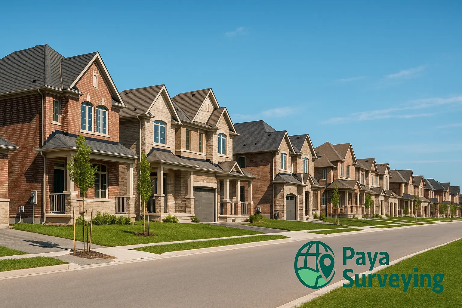
When Do You Need a Topographic Survey?
🏗️ Building Design & Renovation
Architects and structural engineers use topo data as the base plan for additions, custom homes, and infill projects. Elevations and surface details ensure your drawings meet permit requirements and avoid redesign.
🌧️ Site Grading & Drainage
Understanding existing slopes is essential for grading plans, swales, catch basins, and driveway tie-ins. Proper contours help prevent ponding, basement seepage, and neighbour disputes.
🌳 Landscaping & Property Development
Landscape architects rely on topo surveys to place paths, patios, berms, and planting beds with realistic cut/fill estimates, saving time and cost during construction.
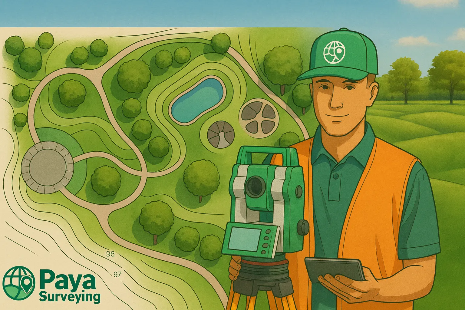
What Information is Included?
- Ground elevations (spot levels) and contour lines with interval labels
- Benchmarks and reference datum (Geodetic if requested)
- Buildings, decks, sheds, retaining walls, fences, pools & driveways
- Trees (trunk size), manholes, catch basins, valves, utility pedestals
- Curbs, sidewalks, road crowns, ditches, swales and visible drainage
- North arrow, coordinate system, scale bar, and clear legend
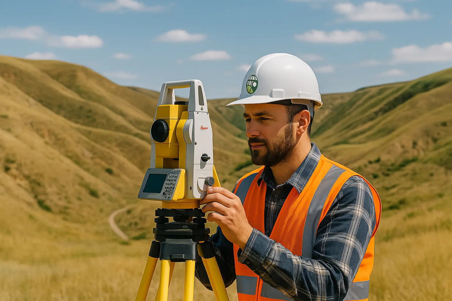
Our Workflow — From Field to Final Drawing

Data Capture
Leica/Trimble Total Station, GNSS RTK, and drone photogrammetry for fast, dense, and precise measurements.
Processing & Modeling
Point cloud filtering, breaklines, and 3D surfaces (TIN) in AutoCAD/Civil 3D with consistent layer standards.
Quality Review
Drawings are checked by a senior surveyor for closure, tolerances, and conformance to scope.
Deliverables
Final deliverables include DWG, PDF, and optional 3D surface for grading—ready to plug into your workflow.
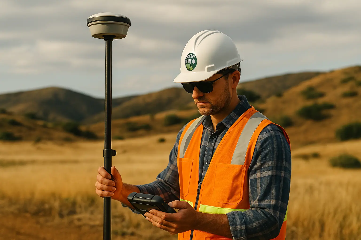
On steep or complex sites, we combine GNSS with Total Station and sUAS data to capture safe, complete coverage.

Why Choose Paya Surveying
✅ High Accuracy
Sub-centimetre precision with careful instrument setups, backsight checks, and control verification.
⚡ Fast Delivery
Efficient field-to-office pipeline—most residential topo surveys delivered within 2–3 business days.
🛰️ Modern Technology
GNSS RTK, Total Station & drone photogrammetry yield dense data and reliable contouring for grading.
Frequently Asked Questions
How long does a topo survey take?
Most residential lots are completed in 1–3 business days. Large/wooded or complex sites may require additional time for safe access and coverage.
What format do I receive?
Standard deliverables are DWG + PDF with contours, spot elevations, and breaklines. Optional 3D surface (TIN/LandXML) available.
Do you provide legal boundary surveys?
We focus on topographic & construction surveys. Legal boundaries are prepared/reviewed by licensed OLS partners when required.
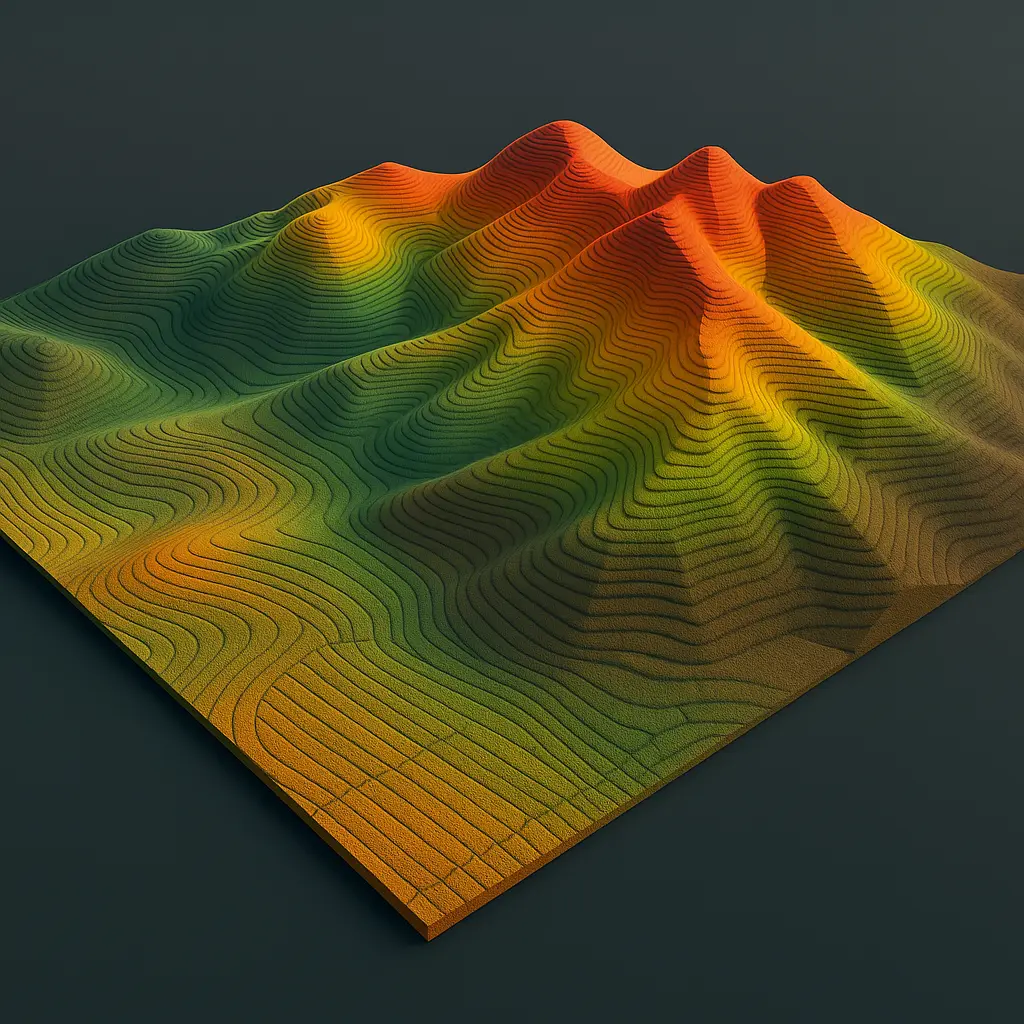
Example Deliverables
Ready to Get Started?
Tell us about your site. We’ll advise on the most efficient capture method and deliver clean, permit-ready drawings.
Request a Free Quote