
Property Survey Toronto
When you search for a property survey Toronto, you want one thing: clear, reliable boundary information that prevents mistakes. Paya Surveying prepares professional property surveys and lot line surveys that support fences, additions, permits, and real estate decisions across Toronto.
Looking for related services? Explore topographic surveys, grading & site plans, construction layout, and LiDAR 3D scanning.

- Boundary and lot line evidence organized in a clean plan
- PDF deliverables for permits, designers, and contractors
- Optional CAD-ready files for site planning workflows
- Clear scope, clear communication, and a trusted quote
What Is a Property Survey in Toronto?
A property survey in Toronto is a measured representation of your lot boundaries and on-site evidence. It typically focuses on boundary and lot line information, while also documenting the site elements that help interpret how the property is occupied and used.
Why “property survey Toronto” is not just a drawing
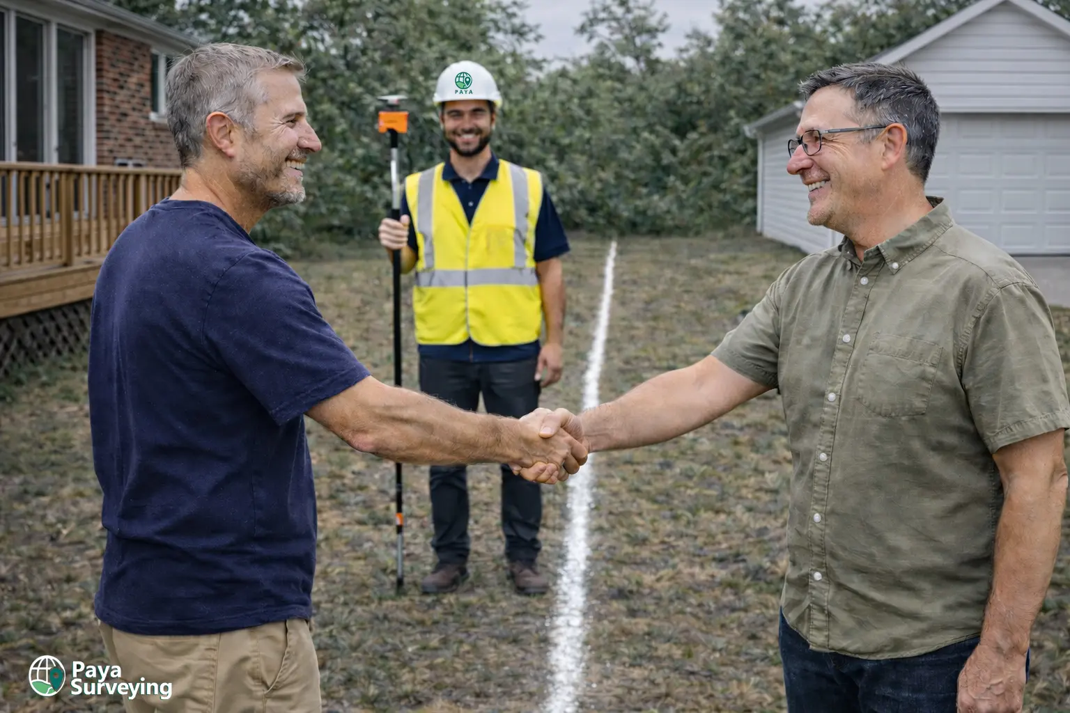
Many people first look for a property survey Toronto when they are planning a fence, an addition, or a new structure close to the lot line. The reason is simple: boundaries are technical. Property corners, evidence, and measurements must be gathered and checked so the final plan is dependable for decision-making.
A strong property survey helps reduce risk. It supports accurate setbacks on a site plan, prevents construction conflicts, and reduces the chance of boundary disputes with neighbours. It also gives designers a clean base reference for planning and permit submissions.
Need elevations too? Consider a topographic survey in Toronto for design and grading workflows.

When Do You Need a Property Survey in Toronto?
Not every project needs the same level of surveying. However, these are the most common scenarios where a property survey Toronto becomes essential to avoid costly corrections.
Before building a fence
A fence built even slightly on the wrong side of the boundary can trigger disputes, removals, or redesign. A lot line survey verifies the boundary so your fence alignment is based on evidence rather than assumptions.

Additions, garages, decks
Setbacks, lot coverage, and building envelopes depend on accurate boundaries. A property survey supports designers by showing where existing structures sit relative to the lot lines.
Permit submissions and zoning checks
City reviewers and design teams often require a current, reliable base. A boundary-focused property survey reduces revisions and ensures the design is anchored to measurable site reality.
Buying, selling, due diligence
A property survey can reveal boundary context, potential encroachments, and site constraints. It also helps buyers and sellers communicate “what exists” with clarity.
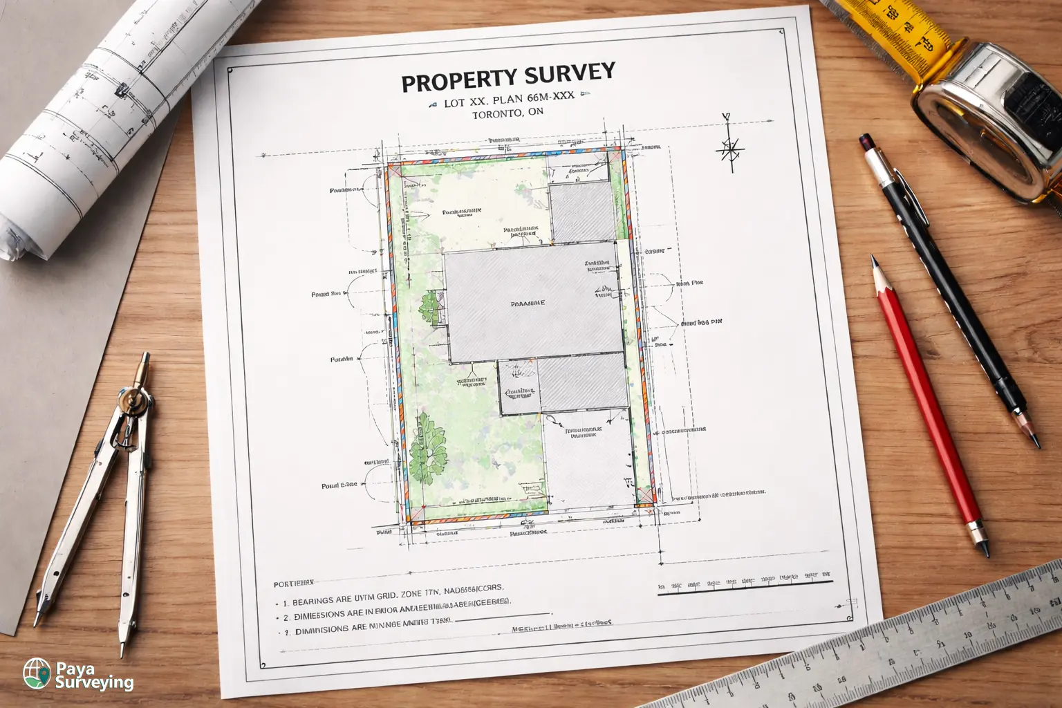
What You Receive From a Property Survey Toronto
A good property survey is not “busy.” It is readable, consistent, and designed for real workflows—design, review, and construction. Below is what most Toronto clients request.
Clear, permit-friendly PDF plans
Your plan is prepared to be easy to interpret. Boundaries, key dimensions, and notes are organized so your architect, engineer, and reviewer can find what matters quickly. This reduces back-and-forth during permit reviews and helps contractors build with fewer assumptions.
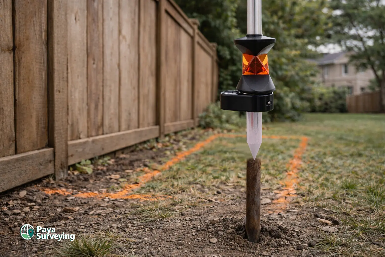
Boundary evidence and lot line clarity
Where appropriate, the plan summarizes boundary evidence and the measured relationship of site features to lot lines. This becomes a practical reference for fence alignment, structure siting, and design decisions.
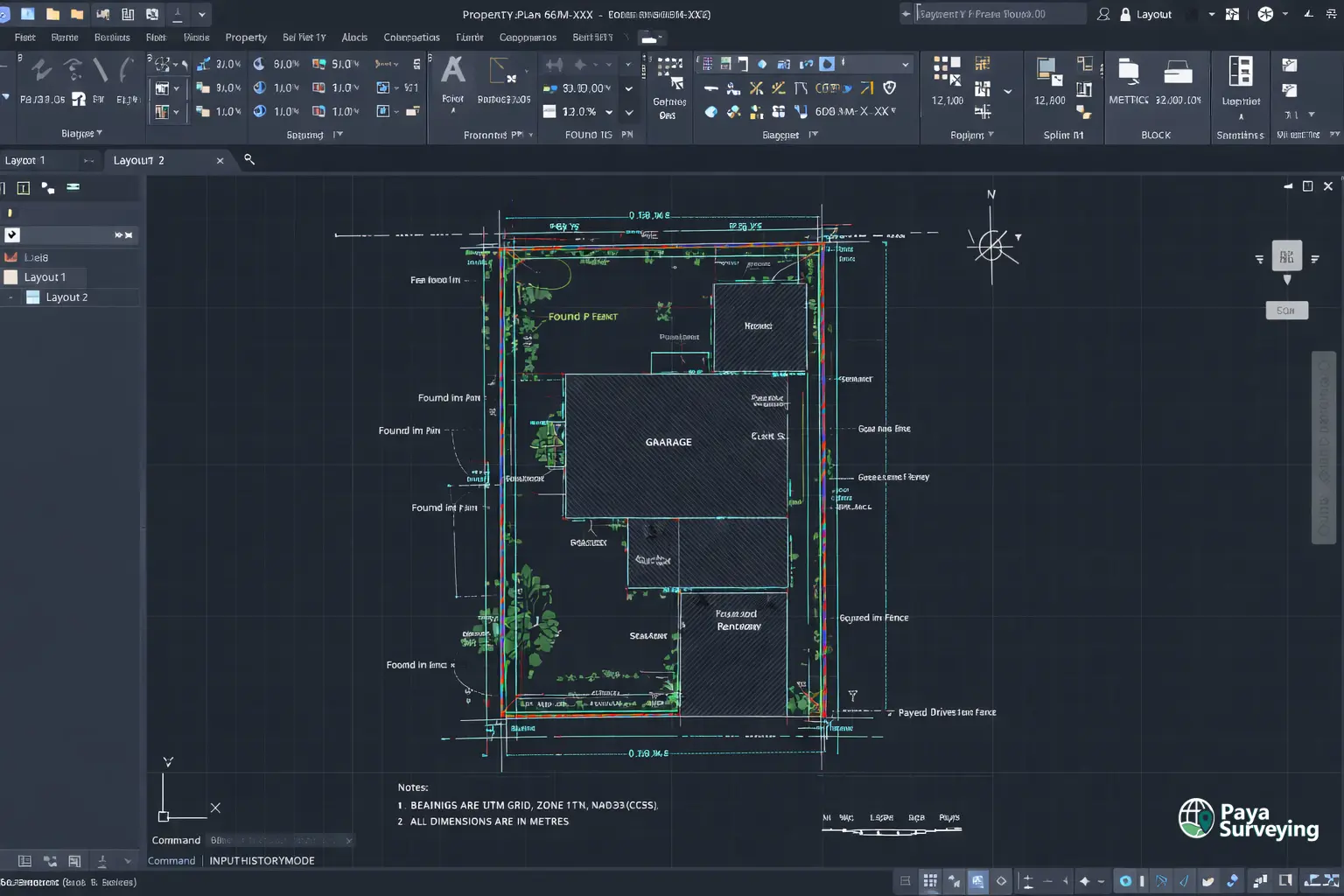
Optional CAD-ready files
If your design team requests it, we can provide CAD-friendly outputs so your site plan workflow stays efficient. This is especially helpful for projects that combine boundary checks with topographic design.
For construction staking later, see construction layout surveying.
Our Process for a Property Survey in Toronto
A consistent workflow leads to consistent accuracy. Here is how we typically deliver a property survey Toronto for residential and infill projects.
1) Scope confirmation
You send your address and a short project description via contact-us. We confirm whether you need a boundary-only property survey, or if your project needs additional topo data, grading requirements, or construction layout support.
2) Desktop review
Before the site visit, we review available public planning context (zoning, maps, and permit references) to anticipate design constraints. This helps reduce surprises and supports efficient fieldwork.
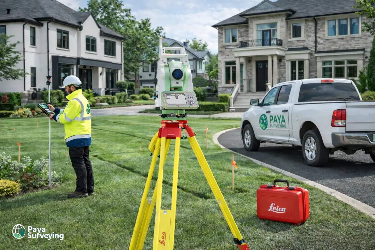
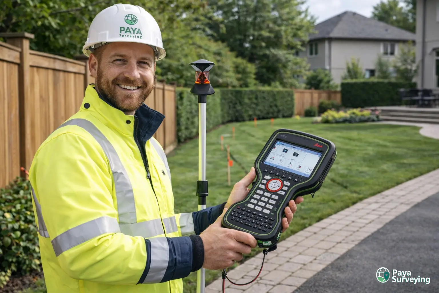
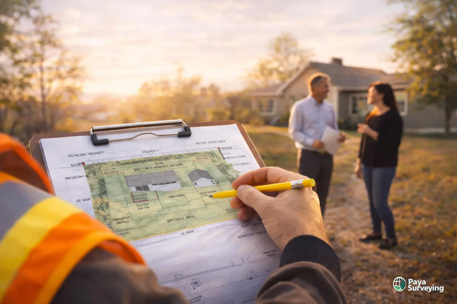
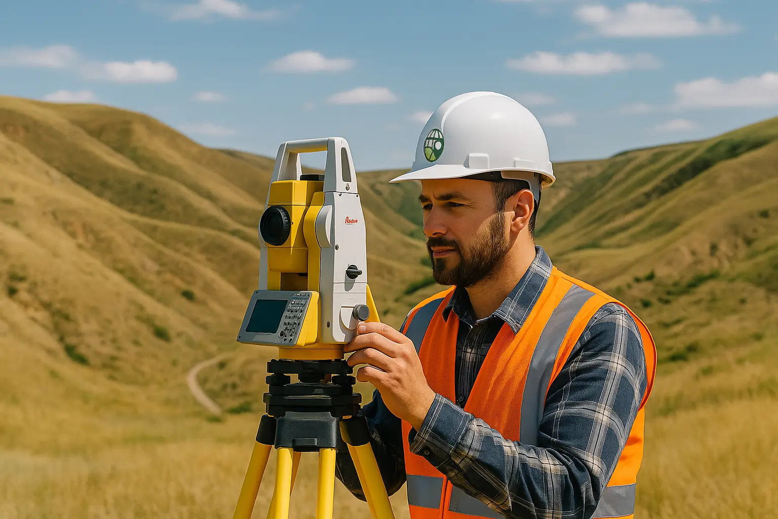
3) Field measurements
Our crew collects measurements using calibrated equipment and follows a methodical approach. The goal is to capture boundaries and relevant site elements with precision and consistency.
4) Drafting and QA/QC
We process data in the office, prepare the plan, and run quality checks so the drawing is clear and internally consistent. We aim for a plan that can be used immediately in design and review.
5) Delivery and support
You receive your deliverables via email. If your architect, engineer, or contractor has questions, we can clarify the plan so your project keeps moving.
6) Next steps (optional)
Many Toronto clients later request grading & site plans or layout staking. Because your baseline data is organized, follow-up work becomes faster.
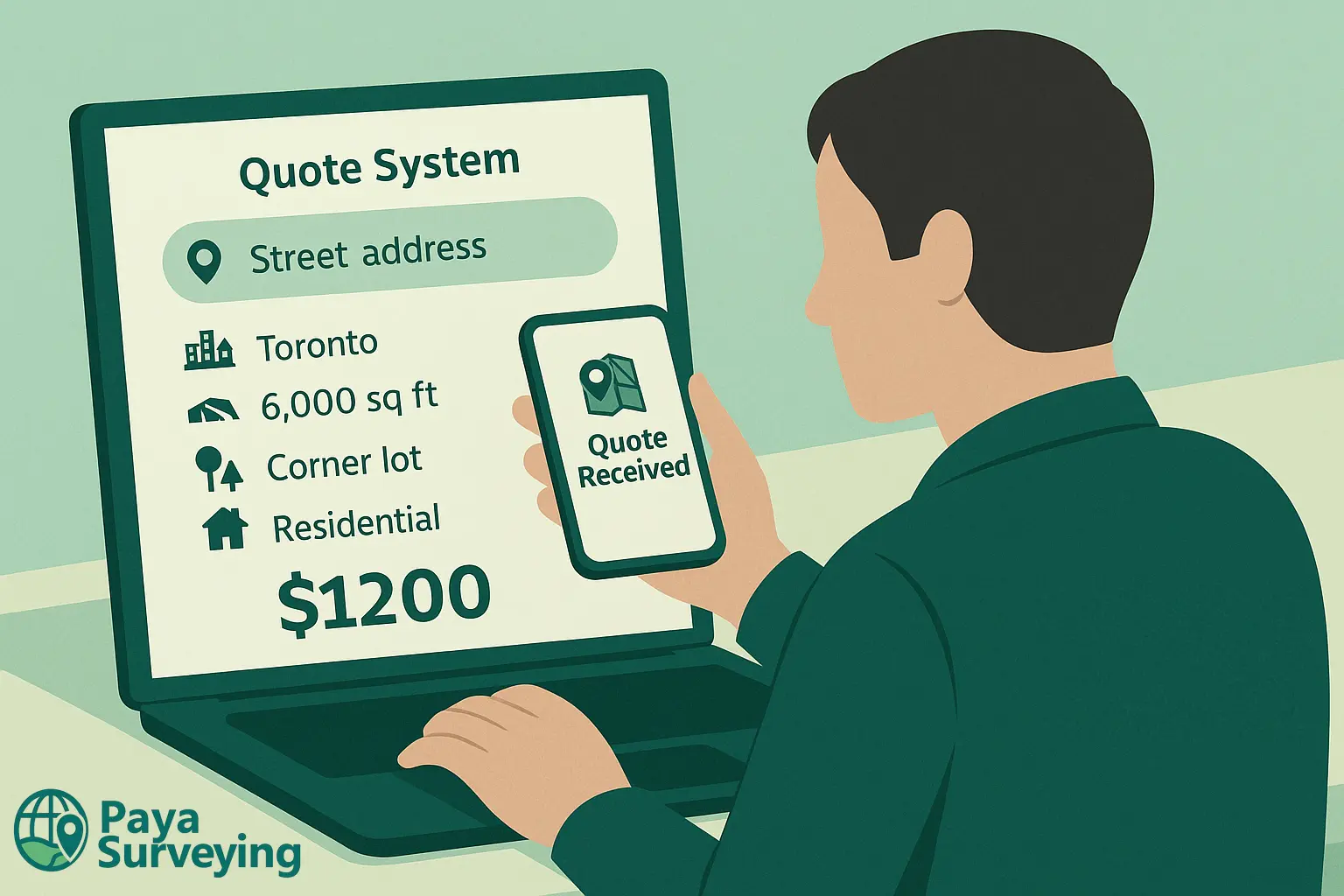
To reduce back-and-forth, we offer an instant quote for common residential survey needs. Enter your address to receive a fast estimate and view matched property details.
Thank You!
Our specialists will contact you shortly to discuss scope and next steps.
Toronto Zoning, Permits, and Public Resources We Reference
While a property survey is built on field measurements, good scope planning is also informed by public City resources. Below are official links Toronto homeowners and design teams commonly use.
City-wide Zoning By-law (569-2013)
Zoning controls permitted uses, setbacks, height, coverage, and more. It often influences whether a project can proceed “as of right” or requires variances.
Open Zoning By-law 569-2013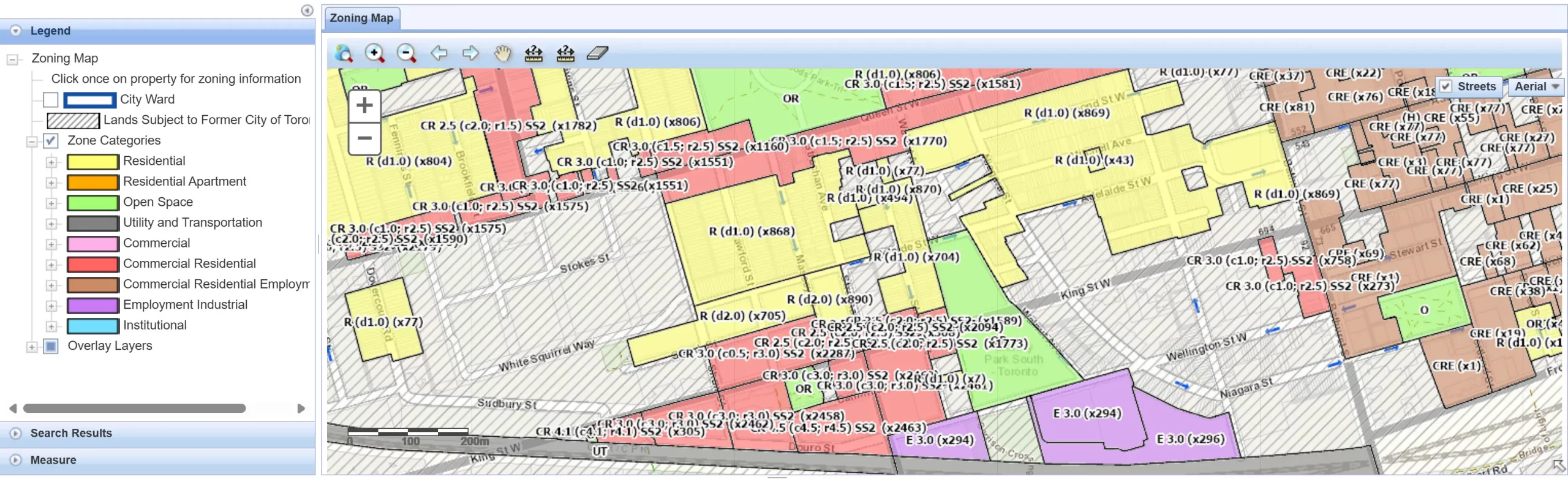
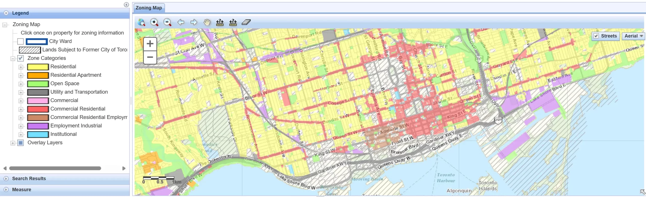
Toronto Zoning Map (interactive)
Useful for quickly checking zone categories and overlays for an address. Your designer may use this early in feasibility checks.
Open the interactive zoning map
Building permits and application guides
Permit requirements vary by project type. Many submissions require a site plan referenced to a current survey, including setbacks and dimensions.
Building permit information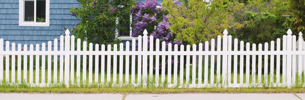
Fence rules and enforcement info
Fence height rules, enclosures, and by-law considerations can affect project decisions. A property survey Toronto helps you confirm lot lines first, and City pages help confirm applicable by-law requirements.
View Toronto fence information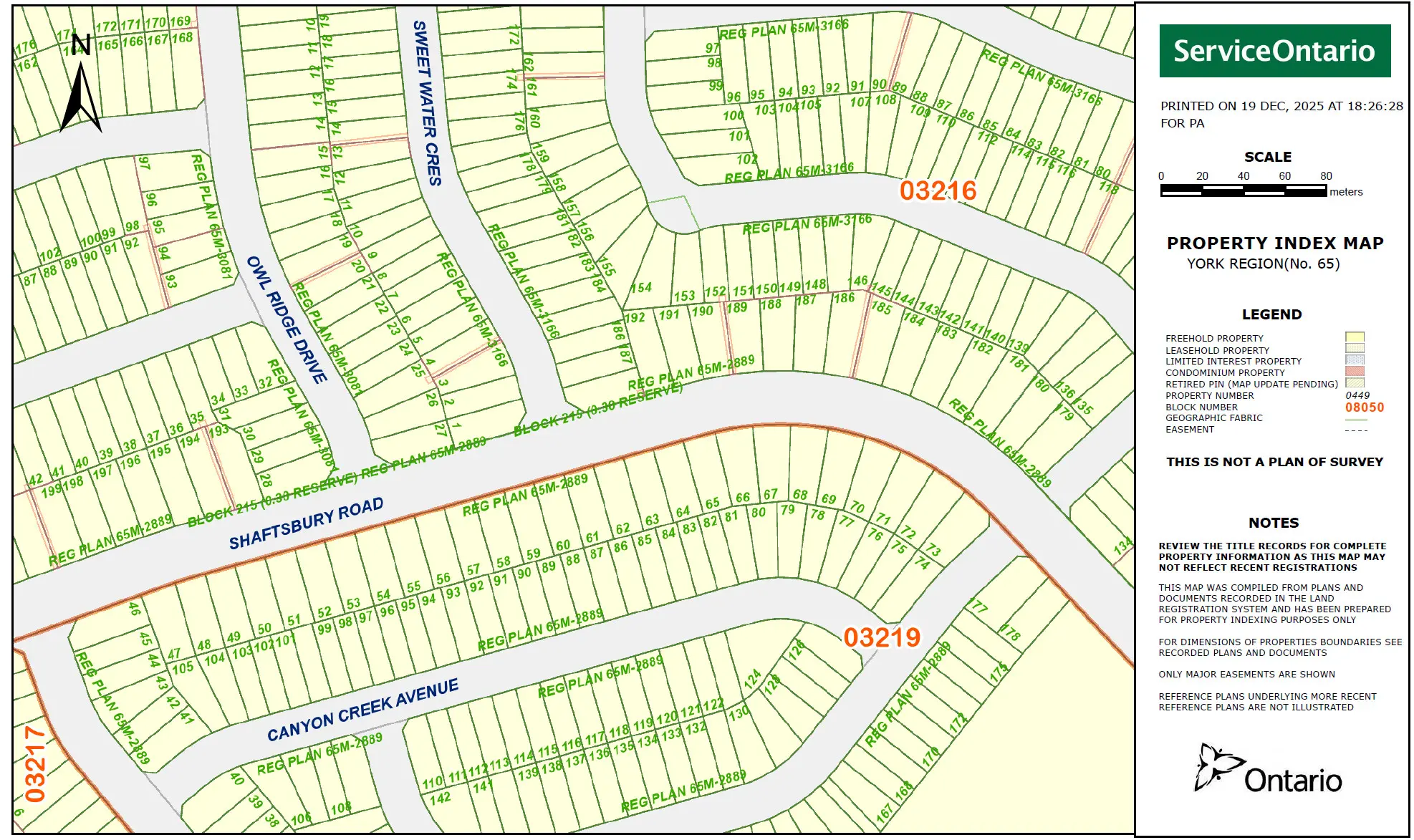
OnLand (parcel register / property search)
In some cases, owners and professionals use Ontario’s land registry tools for property record searches. We can explain what documents you already have and what may be relevant to your project scope.
Parcel register options
Helpful Paya pages to support your project
If you are comparing scopes, these pages help you choose the right service: Surveyors Near Me, Topographic Survey, Grading & Site Plans, LiDAR 3D Scanning, Drone UAV Surveying.
View all servicesRelated Surveying Services in Toronto
Some projects start with a property survey Toronto and then expand into design, grading, or construction layout. These services are commonly paired together for efficient approvals and build-ready information.
Topographic Survey (Toronto)
If your project needs elevations, contours, and existing features for design, a topo survey is often the next step after boundary confirmation.
Topographic Survey Toronto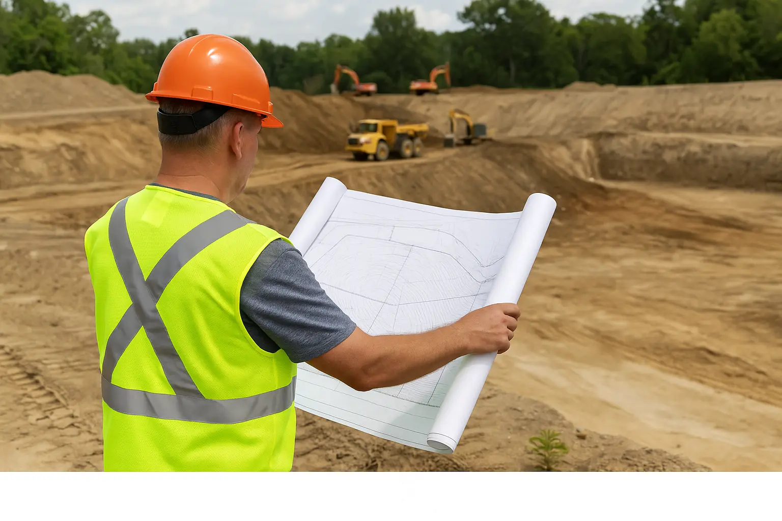
Grading & Site Plan Services
For permit packages and drainage clarity, grading plans translate existing conditions into proposed elevations and flow directions that reviewers can understand quickly.
Grading & Site Plans
Construction Layout & As-Builts
After approvals, construction layout stakes your design in the correct position. As-builts confirm what was built and help close out project documentation.
Construction Layout Survey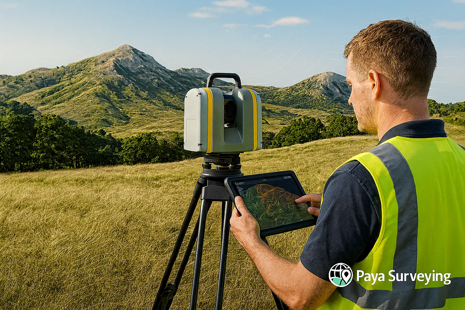
LiDAR 3D Scanning
For complex renovations or detailed as-built capture, LiDAR provides dense point clouds and measurable 3D outputs for design teams.
LiDAR & 3D ScanningVideo: How to Request a Property Survey Quote in Toronto
Add a short video showing how homeowners can request a trusted quote, what information to send, and what to expect on survey day. This improves engagement and helps convert “property survey Toronto” visitors into real leads.
Suggested video script (quick outline)
1) Show the quote form and what to submit (address + goal: fence/addition/permit/real estate).
2) Explain how you confirm scope (property survey vs topo vs grading).
3) Show what happens on site (equipment, measurements, minimal disruption).
4) Show deliverables (clean PDF plan, optional CAD).
5) Close with CTA: Contact Paya Surveying for a free quote.
Property Survey Toronto FAQs
These questions reflect what Toronto homeowners usually ask when planning boundaries, fences, additions, and permit submissions.
Talk to a Toronto Property Surveyor
Send your address and a short description of your project. We’ll reply with a clear quote and a scope that fits your timeline—whether you need a property survey Toronto for a fence, an addition, permits, or real estate decisions.