

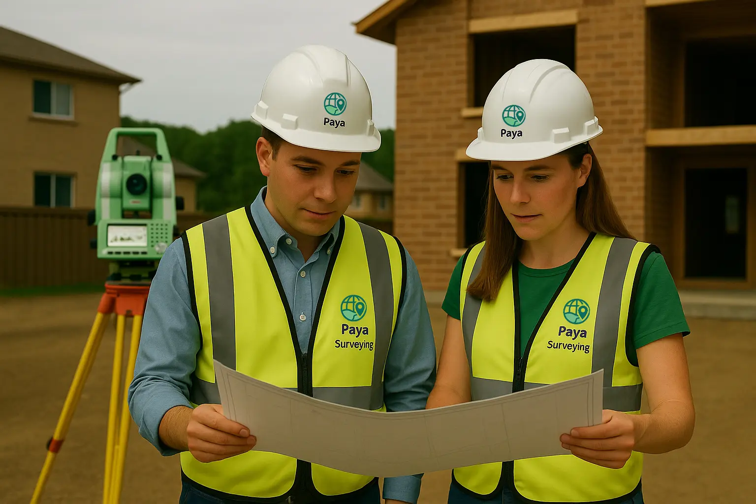
Land Surveyor in Vaughan
Searching for a land surveyor in Vaughan for a renovation, new build, or lot grading project? Instead of a rough sketch, you actually need a clear, measured survey that follows City of Vaughan expectations. As a result, your architect, engineer, and municipal reviewers can work from the same reliable information.

- Quotes based on Vaughan zoning and grading context
- Survey files that plug directly into design software
- Experience with severances, infill lots and minor variances
- CAD and PDF deliverables ready for permit review
How a Vaughan Land Surveyor Supports Zoning, Setbacks and Infill Design
Planning in Vaughan is shaped by the City of Vaughan Official Plan and a series of zoning by-laws that apply differently in Woodbridge, Maple, Kleinburg, Vellore Village and surrounding communities. Each lot sits within a zone that controls setbacks, coverage, permitted uses and building height. Therefore, a land surveyor in Vaughan connects those rules to real ground conditions on your property.
At the beginning of a project, we confirm the legal description, approximate lot fabric and zoning for your property. Then, we combine this information with measured data from the site so that designers can clearly see what already exists and where there is room to build. In turn, this approach helps reduce surprises later in the permit or design process.
Vaughan includes older streets with deep, irregular lots as well as newer subdivisions laid out on a grid. In many areas, grades, lot widths and rear yard conditions can change quickly from one block to the next. Consequently, as your land surveyor in Vaughan, our role is to translate those local patterns into accurate drawings that support zoning compliance and good drainage design.
- Identify existing lot limits, easements, road widenings and access constraints.
- Show current buildings, decks, sheds, driveways and hard surfaces that influence coverage and setbacks.
- Capture key elevations to support grading, drainage paths and driveway slope checks.
- Highlight situations where a minor variance or Committee of Adjustment approval may be needed.
Vaughan Planning & Mapping Resources We Refer To
As we prepare your survey, we often review City of Vaughan and York Region tools alongside our own field data. Moreover, these links show the public information we reference when we plan, explain, and scope your project.
Vaughan Zoning Information
City zoning pages describe what types of buildings and uses are allowed in different parts of Vaughan, as well as setback, height and coverage rules that can affect your design. For many homeowners, this is the first stop before a land surveyor in Vaughan measures the site.
Open Vaughan zoning information
Vaughan Online Maps
Vaughan’s online map viewers allow you to explore zoning, property layers, conservation areas and more. We use this information as a starting point and then refine it with precise survey measurements on site. In this way, desktop research and field work support each other.
Vaughan online maps (City Viewer, PLANit & Zoning)
Engineering & Lot Grading Standards
City of Vaughan engineering design criteria and standard drawings provide direction on typical slopes, drainage patterns and lot grading expectations. Our grading and site plan services are designed with these guidelines in mind so that proposed grades match local expectations.
View engineering design criteria & standard drawings
Development & Building Applications
Larger projects may require site plan approval, consent, minor variance, or subdivision applications. Therefore, as your land surveyor in Vaughan, we prepare base plans, topographic data, and CAD files that support planners, engineers, and lawyers throughout the process. As a result, your team can move more smoothly from concept to approval.
Vaughan’s planning process overviewLand Surveying Service Prices in Vaughan
Skip phone tags and waiting. With Paya Surveying’s automated quote system, you can see your SRPR price in seconds using just a street address. The estimator evaluates:
- Location — Toronto, suburban, or rural settings
- Lot area — footprint and frontage of the parcel
- Site complexity — access, slope, corner lots, obstructions
- Service type — residential or commercial needs
Once you confirm, our OLS-led team schedules fieldwork and prepares a clear, CAD-ready plan. In addition to automated pricing, we also provide legal land surveying (SRPR) services when you need a formal report for lawyers, lenders or municipal applications. Additionally, we support CAD-based deliverables including AutoCAD Civil 3D.
Check Price Instantly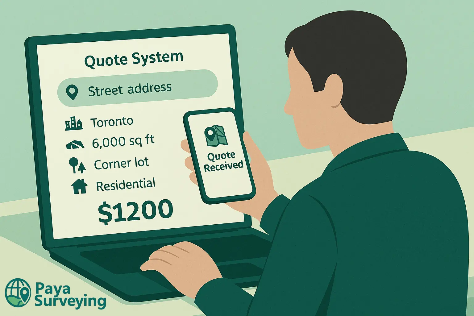
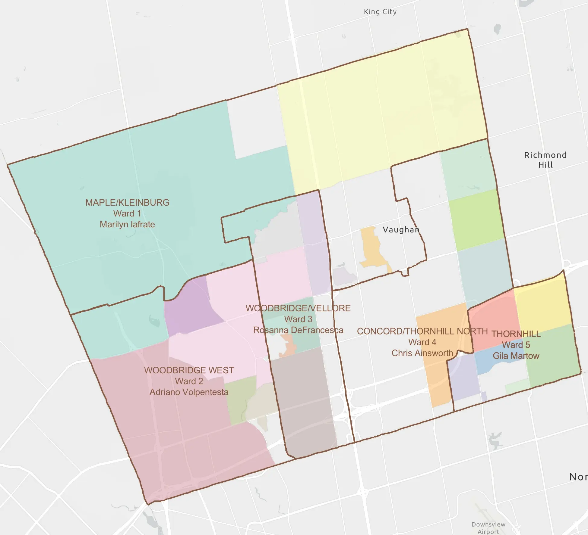
Neighbourhoods in Vaughan Where We Frequently Survey
Vaughan includes a mix of mature neighbourhoods and newer communities, each with its own grading patterns, lot layouts and access conditions. Because of that, our crews work across the city and understand how these differences influence survey strategy and design decisions.
Some of the areas we often visit as a land surveyor in Vaughan include:
If your street or subdivision isn’t listed here, you can still send us your address. Additionally, we can support nearby York Region municipalities such as Richmond Hill and Markham when project schedules and logistics allow.
Surveying Services Tailored to Vaughan Properties
Different projects in Vaughan call for different survey products. For that reason, below are the services that homeowners, designers and contractors most often request when working with a land surveyor in Vaughan.
Boundary & Property Line Surveys
Before investing in fences, landscaping or new structures, it is important to know exactly where your property lines are. For that reason, we locate corners and visible occupation, then show them clearly on a plan that you can share with neighbours, lawyers or designers.
Learn more about property surveys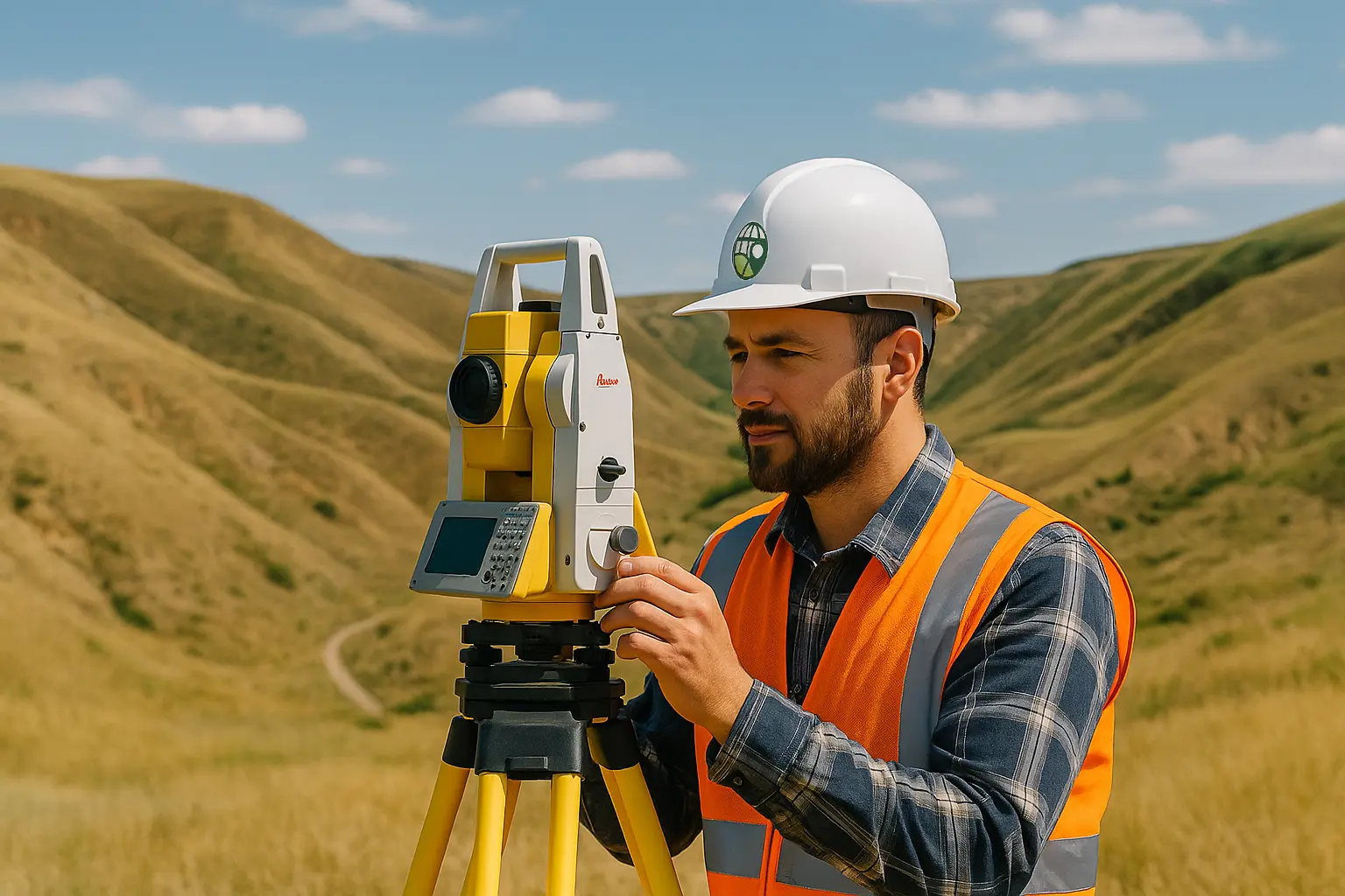
Topographic & Site Surveys
Our topographic surveys capture elevations, contours, trees, retaining walls and utilities so that architects and engineers can design additions, custom homes or site plans that respond to the real shape of your Vaughan lot. In addition, this information supports grading and drainage design.
View topographic survey service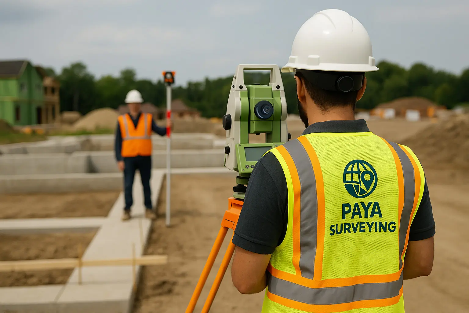
Construction Layout & As-Built Surveys
Once permits are approved, we can return to set out foundations, building corners, grid lines and other key points so that work proceeds in the right location and elevation. Afterwards, we can provide as-built surveys to document what was constructed for your records and for City review.
See construction layout details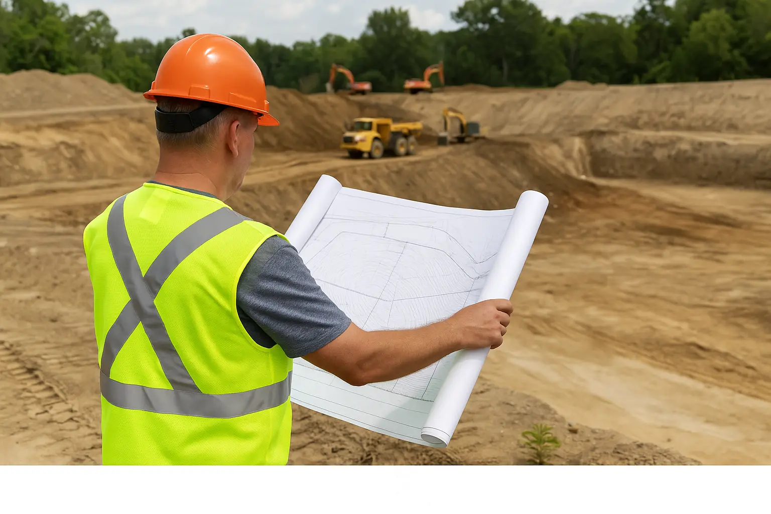
Grading & Site Plan Services
Site Grading Plans illustrate how finished ground, driveways and walkways will slope and drain after construction. Instead of relying on assumptions, these plans show surface drainage patterns and proposed elevations so that water flows safely away from foundations and neighbouring yards. Additionally, they help ensure your design meets municipal grading standards and can be reviewed efficiently during permit applications.
Explore grading & site plans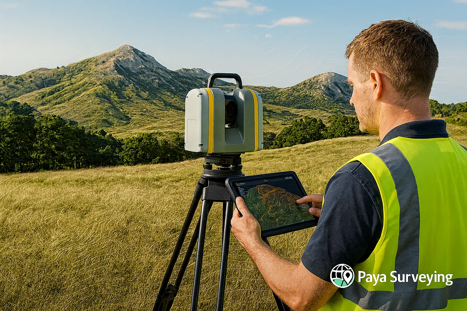
LiDAR & 3D Scanning
For more complex sites, LiDAR and 3D scanning provide dense point clouds and detailed models that can be used for renovations, industrial projects or BIM coordination in and around Vaughan. As a result, design teams can make decisions with a higher level of confidence.
Discover LiDAR & 3D Scanning
As-Built Grades & Compliance Checks
After grading or construction is finished, we can verify final grades, building positions and key dimensions to help confirm that work generally follows approved plans and municipal expectations. In many cases, this final step supports occupancy, lot grading clearance or release of holdbacks.
More about as-built surveys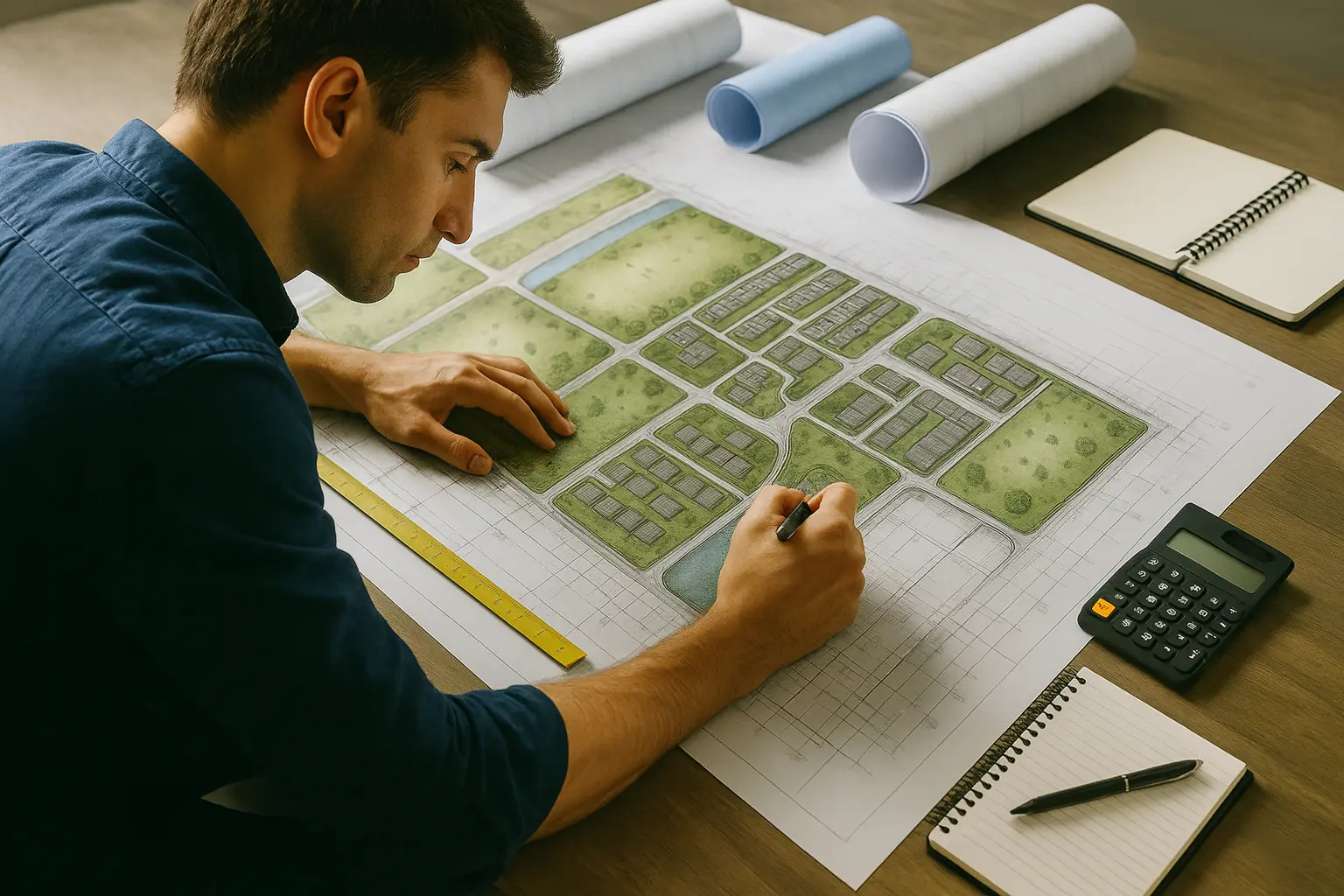

How We Make Booking a Land Surveyor in Vaughan Straightforward
In this short video, we walk through our quoting and booking process step by step so that homeowners and contractors working in Vaughan know what to expect before we arrive on site.
From first inquiry to finished survey drawings
The video explains how we review your address, check general zoning and grading context, and then prepare a written quote that matches your project scope. Additionally, you’ll see what kind of access we need on the day of the survey and how we share deliverables with your design team.
If you already have concept sketches, architectural drawings or engineering comments, you can provide them when you contact us. This way, our land surveyor in Vaughan can anticipate potential grading conflicts, retaining wall needs or elevation constraints early in the process.
Ultimately, our aim is to demystify the technical side of surveying so that you can make confident decisions while we focus on precise measurements, clear plans and responsive communication.
Step-by-Step Process for Vaughan Land Surveys
Whether you are updating a single-family home in Woodbridge or planning a more involved project near Highway 7, our approach as a land surveyor in Vaughan follows a consistent workflow.
Share Your Address & Project Overview
First, use the Paya Surveying contact form to send your Vaughan address, a short summary of your plans, and any previous surveys or drawings. Then we confirm which survey products will best support your permit or design.
Desktop Review of Site Context
Next, before visiting the site, we often review online mapping, zoning layers and available plans to better understand surrounding grades, road patterns, nearby ravines or other constraints that may influence the survey.
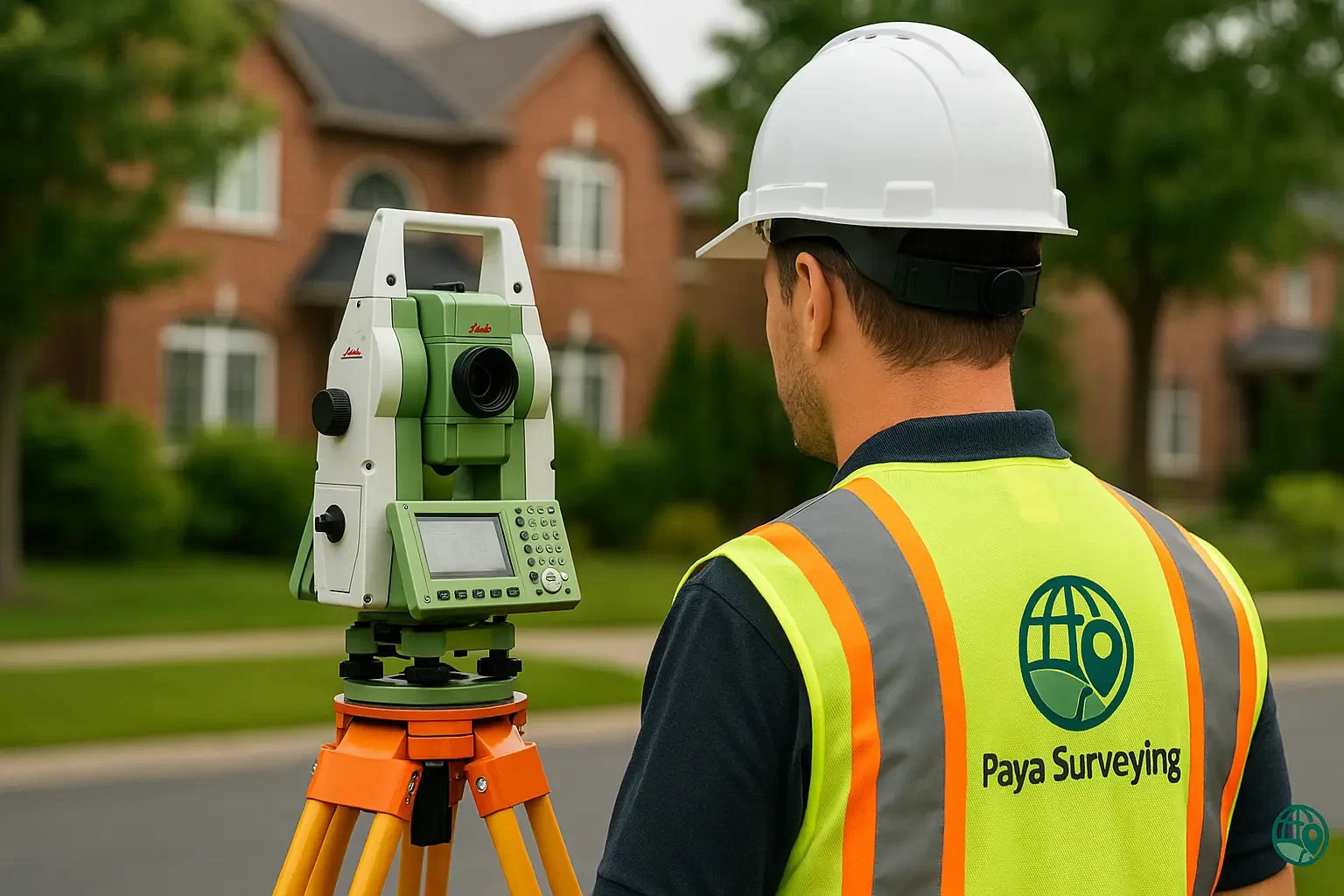
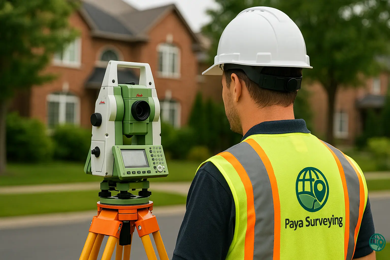
Field Survey in Your Vaughan Neighbourhood
After the desktop review, our crew attends site with calibrated total station and GNSS equipment. We collect boundary evidence, visible features, spot elevations and other details listed in the agreed scope while respecting your property and neighbours.
CAD Drafting & Technical Review
Back in the office, we process measurements and prepare clear CAD drawings. At the same time, we check that important features, elevations and notes are shown correctly for designers, engineers and City reviewers.
PDF & CAD Deliverables for Your Team
You receive PDF files ready to attach to applications, and CAD files on request for architects and engineers. If needed, we remain available to clarify survey content when questions arise from the City or consultants.
Follow-Up Layout & As-Built Work
Finally, many clients bring us back once permits are issued to perform construction layout or as-built surveys. Because we have already built a base plan for your property, follow-up work is typically more efficient.
Common Questions About Vaughan Land Surveys
Here are some of the topics that often come up when property owners and design teams contact us about working with a land surveyor in Vaughan.


Talk to a Land Surveyor in Vaughan
Share your address, a brief description of your project and any drawings you already have. In response, we’ll provide a clear, no-obligation quote and a recommended survey scope that fits Vaughan zoning, grading and permit expectations.
Request Your Vaughan Survey Quote