
Drone & UAV Surveying in Toronto & GTA
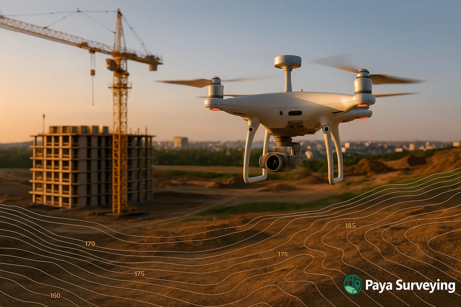
We deliver professional Drone Surveying in Toronto with RTK UAVs — producing high-resolution orthomosaics, 3D terrain models, and volumetric analytics for design, grading, and construction.
Fast capture, safer operations, and centimeter-level accuracy for residential, commercial, and infrastructure sites.
What is Drone Surveying in Toronto?
Drone (UAV) Surveying combines aerial imagery, RTK positioning, and photogrammetry to produce orthomosaic maps, DSM/DTM surfaces, contours و 3D point clouds. For projects across the GTA, Drone Surveying Toronto provides faster coverage and safer workflows, especially on steep, busy, or inaccessible sites.
- RTK/PPK workflows with GCPs for centimeter-level precision
- Clean CAD deliverables (DWG/PDF) aligned to your coordinate system
- Fewer field hours — more area coverage with consistent quality
- Direct integration with AutoCAD & Civil 3D for design teams

Why Choose Drone Surveying Toronto for Your Site?
✅ Accuracy
RTK drones + GCPs achieve 2–3 cm accuracy — suitable for topo mapping, grading, and volume reports.
⚡ Speed
Capture large areas in a fraction of time vs. traditional methods, with rapid processing turnaround.
🛡️ Safety
Reduce on-foot exposure in traffic, steep slopes, or hazardous zones with aerial data collection.
📈 Traceability
Versioned datasets (orthophotos/3D) for progress tracking, RFIs, as-builts, and stakeholder reporting.
Applications of Drone & UAV Surveying

🏗️ Construction Monitoring
Track progress, validate quantities, and generate consistent visual records for each phase.

🌳 Topographic Mapping
Produce elevation models and contours for grading, drainage, and site design decisions.

🛰️ Infrastructure & Assets
Safer imaging for bridges, roofs, and facades — with measurable outputs and clear visuals.

⛏️ Earthworks & Volumes
Stockpile measurements, cut/fill analysis, and concise PDF reports for site managers.

Deliverables You Receive
Mapping
- Orthomosaic (GeoTIFF/KMZ), tiled web layers
- DSM/DTM, contours, breaklines
3D Data
- Point clouds (.LAS/.LAZ) for CAD/Civil 3D
- Optional LandXML/TIN for surfaces
Reports
- Cut/Fill & stockpile volumetrics (PDF)
- Progress imagery & as-built snapshots
Outputs match your CAD standards (layers/symbols) and local coordinate systems.
Our Drone Surveying Workflow — Optimized for Toronto Projects
Flight Planning
Mission design, airspace checks, GCP plan, and camera overlap settings.
Data Capture
RTK flights by certified pilots; GNSS/Total Station shots for key features.
Processing
Pix4D/Metashape photogrammetry; point cloud cleaning and contouring.
QA & Delivery
Senior review; DWG/PDF packages + optional LandXML/TIN & web viewers.

Why Drone Surveying Fits Toronto Sites
Dense traffic, limited access, and time pressure demand safer, faster capture. Drone Surveying Toronto reduces disruption, simplifies logistics, and provides measurable datasets that integrate directly with design workflows.
- Fewer site visits — more consistent records
- Better change tracking across project phases
- Clear visuals for client and permitting
Accuracy, Control & Processing Methods
Control Strategy
RTK base/PPK with targeted Ground Control Points near edges and grade breaks to minimize residuals.
Photogrammetry
Processed in Pix4D or Agisoft Metashape with careful masking, outlier removal, and surface smoothing.
CAD Handoff
Layered DWG with legend and naming aligned to your templates; optional LandXML/TIN for surface exchange.
Compliance, Safety & Best Practices
Our operations follow Transport Canada RPAS rules and site-specific safety plans. Learn more at Transport Canada – Drone Safety. For CAD workflows, see Autodesk Civil 3D.
Case Study — 18 ha Earthworks (GTA)
Result: verified cut/fill and stockpiles with clear, shareable visuals for stakeholders.
Service Areas in Toronto & the GTA
- Toronto, North York, Etobicoke, Scarborough
- Mississauga, Brampton, Vaughan, Markham, Richmond Hill
- Oakville, Burlington, Pickering, Ajax, Whitby, Oshawa
Frequently Asked Questions
How accurate is a drone survey?
With RTK and GCPs, typical results are 2–3 cm horizontally and vertically — suitable for topo & volumes.
Is Drone Surveying legal in Toronto?
Yes. All flights comply with Transport Canada RPAS rules; we handle airspace checks and permits as required.
What will I receive?
DWG/PDF plans, orthomosaics (GeoTIFF/KMZ), DSM/DTM surfaces, and optional point clouds & LandXML/TIN.
Ready to Elevate Your Project?
Request a drone survey — accurate, fast, and engineered for professional results.
Request a Free Quote