
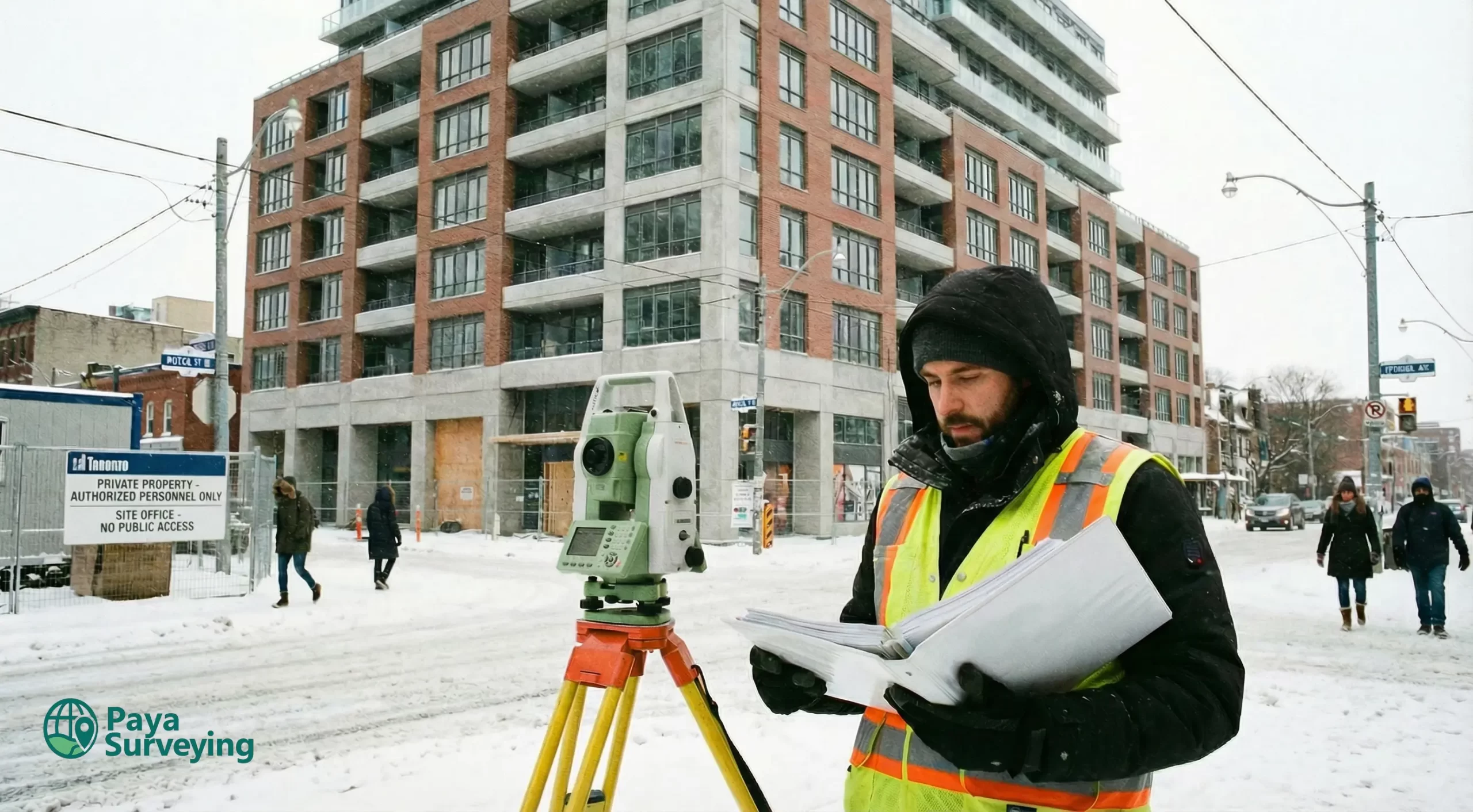
Survey for Building Permit in Toronto & GTA
If you’re searching for survey for building permit Toronto, your real goal is usually: submit once, avoid confusion, and reduce revision cycles. We provide an OLS-style, permit-ready survey base that clearly communicates existing site conditions, key measurements, and (when required) topo/elevations—so your designer and the municipal reviewer are working from the same reality.
Common permit packages often connect to: Property Survey · Topographic Survey · Grading & Site Plans · Construction Layout
What “Survey for Building Permit” Really Means (Toronto)
OLS-style priorities: reliability → clarity → scope control
As survey professionals, we treat permits like a risk-reduction problem: remove ambiguity early, document what matters, and present it in a way that’s easy to interpret. That typically means:
- measured existing conditions that are relevant to the permit scope
- clear dimensions and context for design and review (less “interpretation”)
- optional topo / elevation information when grading or drainage is involved
- clean deliverables (PDF for submission, CAD-ready optional)
What a reviewer is trying to understand
What exists today and how the proposal relates to existing site conditions.
Key measurements required for consistent technical review and approvals.
Where water flows when grading or site work is part of the permit review.
Spot elevations and grade control when vertical relationships matter.
When You Typically Need This Service
Some permits only need basic site context. Others require topo/elevations or grading support. Here are common Toronto & GTA scenarios where a permit-ready survey base prevents rework.
Additions & footprint changes
When you change the footprint, entrances, or exterior site conditions, accurate context reduces revisions.
New builds & infill
New construction often needs stronger documentation, and grading/elevation info may become essential.
Decks, walkouts, site work
Grade changes and drainage paths can trigger topo requirements—handle it upfront.

Permit now, layout later
Many clients start with permits, then move to staking/layout after approval.
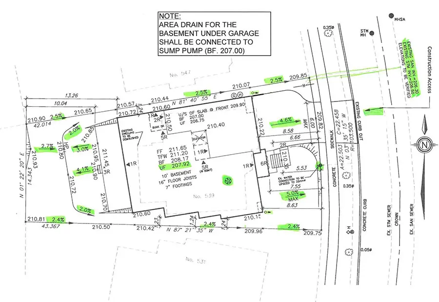
What’s Included (Clear, Permit-Ready Deliverables)
The final scope depends on your project and municipality. Below is a high-level breakdown of what most clients need for a clean permit submission.
| Item | Why it matters for permits |
|---|---|
| Existing site context | Shows what exists today (structures & key site features) so the reviewer understands the baseline conditions. |
| Key dimensions | Supports design coordination and reduces “interpretation gaps” that often trigger follow-up questions. |
| Notes & callouts | Improves readability. Good callouts can prevent avoidable revision cycles. |
| Topo / elevations (optional) | When drainage or grading is reviewed, spot elevations reduce uncertainty and improve defensibility. |
| Deliverables | Clean PDF for submission; CAD-ready output optional for architect/engineer workflows. |
Scope guidance (keep it efficient)
Permit scopes vary. The fastest path is matching the survey detail to the project risk—so your submission is clear, but not overbuilt.
- reduce ambiguity early (fewer reviewer questions)
- align scope to lot-line proximity and site complexity
- keep the base designer-friendly for smooth coordination
- allow a clean upgrade path if requirements change mid-review
Supporting survey deliverables
Depending on the site and the permit type, the package may be supported by additional survey components. These help teams move from “permit-ready” to “build-ready” with fewer gaps and fewer surprises on site.
To reduce back-and-forth, we offer an instant quote for common residential survey needs. Enter your address to receive a fast estimate and view matched property details.
Thank You!
Our specialists will contact you shortly to discuss scope and next steps.

Workflow Built for Permits (Less Back-and-Forth)
A consistent process keeps your drawing set coherent from field measurements to submission—and helps your design team move faster.
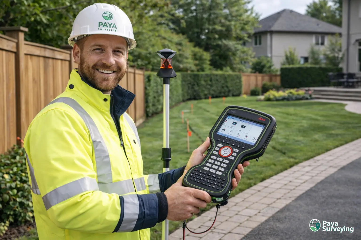
We confirm what’s actually needed for your permit: site context vs topo/elevations vs grading support.
We capture relevant existing conditions and verify key details needed for your project scope.
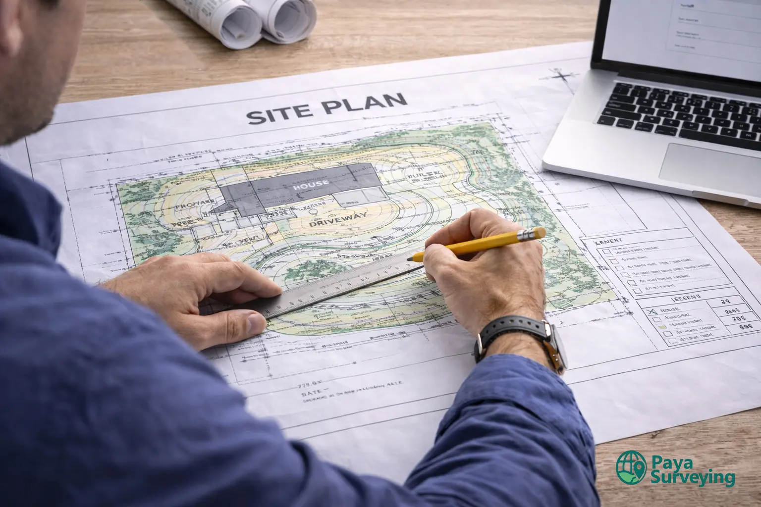
We produce a readable base with clean callouts so reviewers don’t have to interpret ambiguous details.
We check consistency, missing items, and readability to reduce avoidable revision cycles.
Permit-ready PDF (and CAD-ready output if requested). Clear handoff to your design team.
If needed, we support revisions and later construction staking/layout.
Fast start checklist (send any of these)
- address + project type (addition / deck / new build / walkout / etc.)
- any existing survey/plan (even if older—still useful as reference)
- City/reviewer comments (if you have them)
- target submission timeline
Permit-friendly coordination
Most delays happen when teams are working from different assumptions. A clear base drawing keeps everyone aligned—designer, reviewer, and builder.
- cleaner submission packages (less back-and-forth)
- faster design decisions using verified site context
- easier updates when requirements change
Survey for Building Permit Toronto FAQs
Common questions from homeowners, designers, and builders preparing permit submissions.
Start Your Building Permit Survey (Toronto & GTA)
Send your address and a short description of your project. We’ll recommend the right scope and help you move toward a clean, permit-ready drawing set—especially if you’re searching for survey for building permit Toronto and want fewer revisions.