
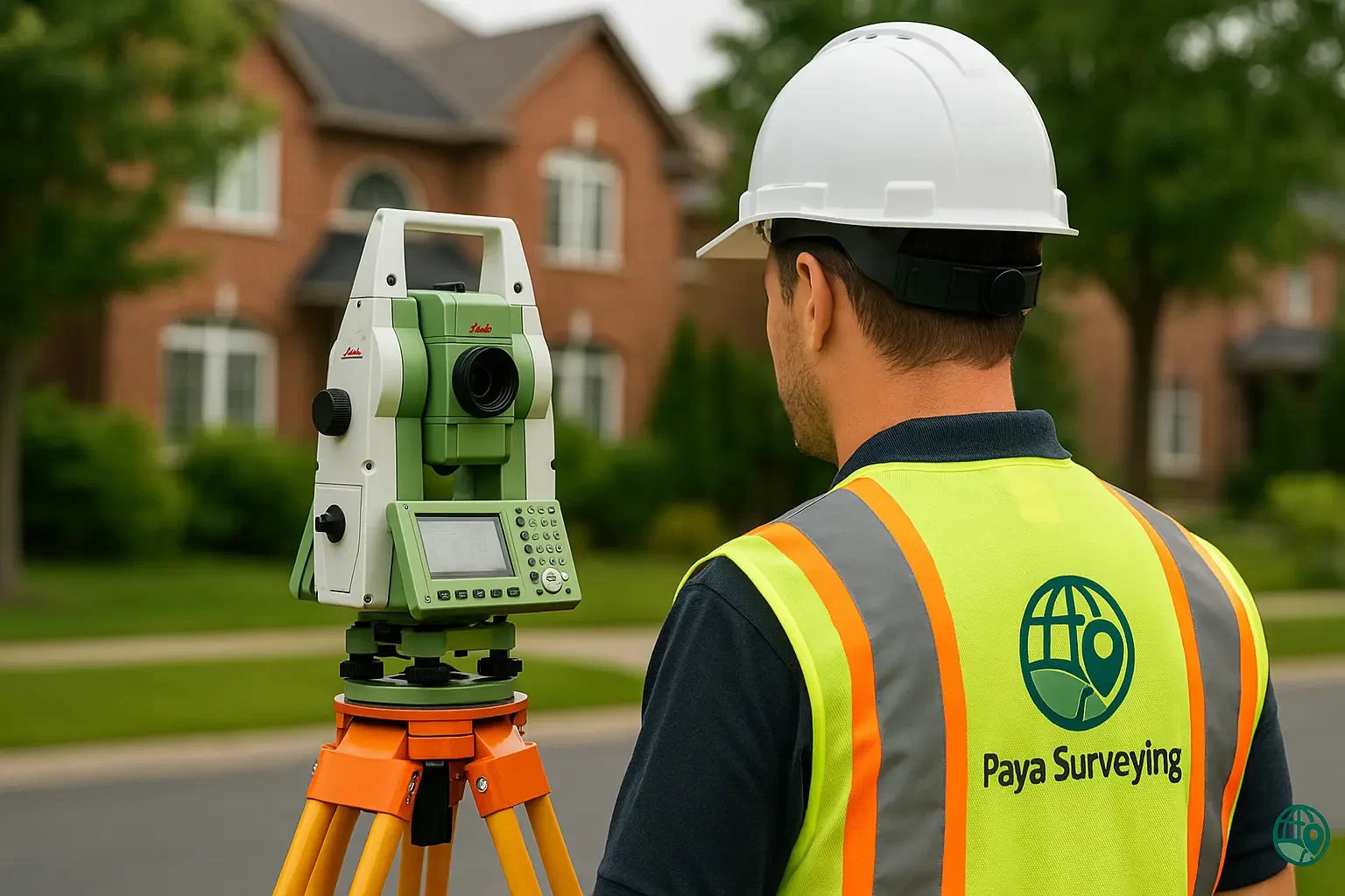
SRPR Surveys (Surveyor’s Real Property Report) in Toronto & GTA
We provide trusted SRPR surveys reviewed by Ontario Land Surveyors — fast, legal, and fully transparent. Whether you’re buying, selling, or building, our precise reports help you move forward with confidence. Get a price in seconds with our automated quote system.
What is an SRPR Survey?
An SRPR (Surveyor’s Real Property Report) is an official survey plan prepared by a licensed Ontario Land Surveyor (OLS). It shows the legal boundary of your lot and the relationship of visible improvements—such as the house, decks, sheds, fences, and driveways—to that boundary and to applicable municipal bylaws (setbacks, encroachments, easements).
In practice, an SRPR eliminates uncertainty during real estate transactions, supports building permit applications with clear geometry, and resolves boundary disputes before they escalate. For related workflows like topo mapping or drone imagery, see our pages on Topographic Surveying and Drone Surveying.
Municipal requirements vary across the GTA. For guidance on permits, refer to Ontario building permits. Our team aligns SRPR deliverables with local standards to keep approvals smooth.

When Do You Need an SRPR?

🏡 Property Purchase or Sale
Trusted by lawyers and lenders to confirm boundaries, improvements, and encroachments prior to closing.

📐 Building Permits & Additions
Verify setbacks and coverage for new structures; speed up approvals with a current OLS-signed report.

🚧 Fence & Boundary Disputes
Resolve neighbour conflicts with a legal plan that precisely defines property lines and encroachments.

🏦 Mortgage & Refinancing
Many lenders request an updated SRPR to validate the parcel and built features before financing.

🧭 Property Line Verification
Ensure sheds, pools, or landscaping are located within legal limits; prevent costly rework later.

🗺️ Subdivision Applications
Support planning applications with accurate, current survey data linked to municipal geodetic control.

⚖️ Legal Boundary Adjustments
Underpin lot line adjustments and easements with defensible OLS evidence and clear field ties.

🛡️ Title Insurance & Due Diligence
Mitigate risk for buyers and insurers with a recent, certified report that documents site reality.
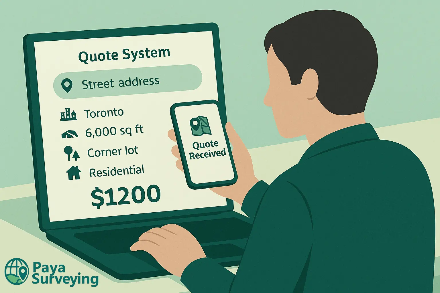
To reduce back-and-forth, we offer an instant quote for common residential survey needs. Enter your address to receive a fast estimate and view matched property details.
Thank You!
Our specialists will contact you shortly to discuss scope and next steps.
How It Works
Enter Your Address
Start with your property address — the tool finds the parcel details automatically.
Select Service Type
Purchase/sale, permit, refinance, or legal verification — we tailor the SRPR to your case.
See Your Instant Estimate
Pricing adjusts to location, lot size, and site complexity — no surprises, no delays.
Confirm & Schedule
Approve your quote and our licensed field crew will proceed with control and ties.
Need a topographic plan with contours for design? Explore our Topographic Surveying page. For aerial data capture, see Drone Surveying.
Ready to Get Your SRPR Survey?
Check your price instantly and schedule your OLS-reviewed SRPR today — fast, accurate, and fully transparent.
Check Price Instantly